Remote detection methods
Modern mine detection systems use remote sensing technologies to scan areas for buried explosives without requiring people to work directly in mined fields. Ground penetrating radar (GPR) is one of the most commonly used remote detection methods. GPR systems mount antennae on vehicles that emit electromagnetic waves into the ground. Changes in the waves indicate the presence of buried items, allowing operators to identify potential mine locations without entering hazardous areas. Another remote option is infrared and thermal imaging cameras mounted on drones or aircraft. These detect ground disturbances and temperature variations caused by buried mines. While not as precise as GPR, they provide efficient wide-area survey capabilities from a safe distance.
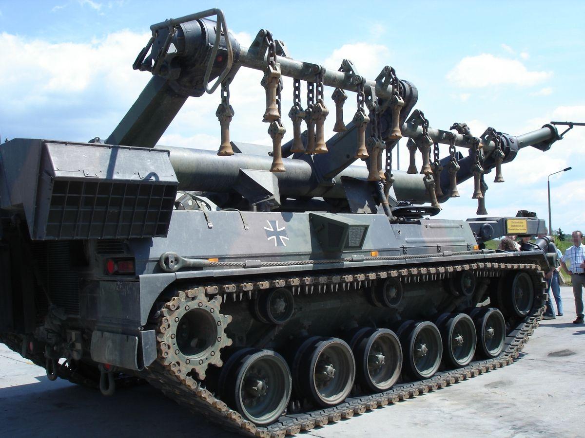
Mechanical support
Mechanical assets are deployed to prepare clearing sites in advance of manual demining. Manual detection and excavation would be too slow and risky on large mined areas. Farm tractors with brush cutters clear vegetation to improve access and visibility. Tiller machines loosen and turn over soil to bury mine fragments or shift mines to the surface. Mine flails use rapidly rotating metal chains or bars to detonate mines within a protective cage mounted on an armored vehicle. These mechanical preparation methods allow deminers to focus their efforts on specific mine locations identified remotely rather than widespread uncertain areas.
Protective equipment
Advances in ballistic protection provide safer working conditions for deminers. Mine Clearance System Lightweight ballistic vests, visors, and gloves made of liquid crystal polymers and aramid fibers withstand fragmentation from mine blasts. Bomb suits give full-body protection, allowing teams to investigate large UXO safely. Demining machines are also being engineered with reinforced floors, wheels, and cabs to shield operators. In addition, new portable mine detectors are incorporated into suits for hands-free operation while maintaining blast protection. These protective innovations allow personnel to work in close proximity to explosives to complete clearance tasks manually if required.
Integration of technologies
An emerging trend is the integration of multiple technological systems into comprehensive mine action solutions. For example, drones with thermal cameras first survey an area and tag suspect mine locations. This data is then used to plan mechanical preparation operations. As machines like tiller systems work the site, GPR vehicles sweep behind to verify clearance. Any residual signals trigger follow-up investigations using bomb suits and detectors. Coordinating technologies hands-off the most dangerous initial tasks while maximizing information sharing between phases. Integrated systems streamline operations from non-technical survey to conditional clearance certification. Cohesive solutions will be key to efficiently clearing the millions of landmines still contaminating the lands of past conflicts.
Quality management
To ensure cleared areas are safe for use, technological mine clearance must be complemented by rigorous quality management. Post-clearance inspection and sampling is still primarily done manually despite some trials of using specially trained rats. Documenting clearance activities and maintaining records of areas proved clear is also important. New geolocation capabilities in detectors aid in mapping minefield perimeters and clearance lines. Drones capture aerial imagery that can confirm machines covered lands systematically. Data management systems consolidate operational information to issue land certificates with confidence. Quality is the foundation of acceptance and trust in mine action programs by affected communities - modernization must not compromise standards.
Get more insights on Mine Clearance System